
GV LIAIR - LiAir X4 LiGeoreference
Intelligent and autonomous LiDAR system designed for complex inspections, the LiAir X4 captures high-precision 3D data through 360° scanning and AI-assisted navigation.
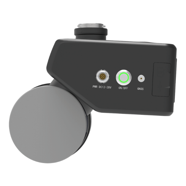
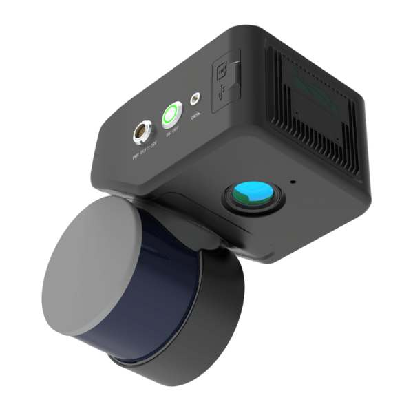
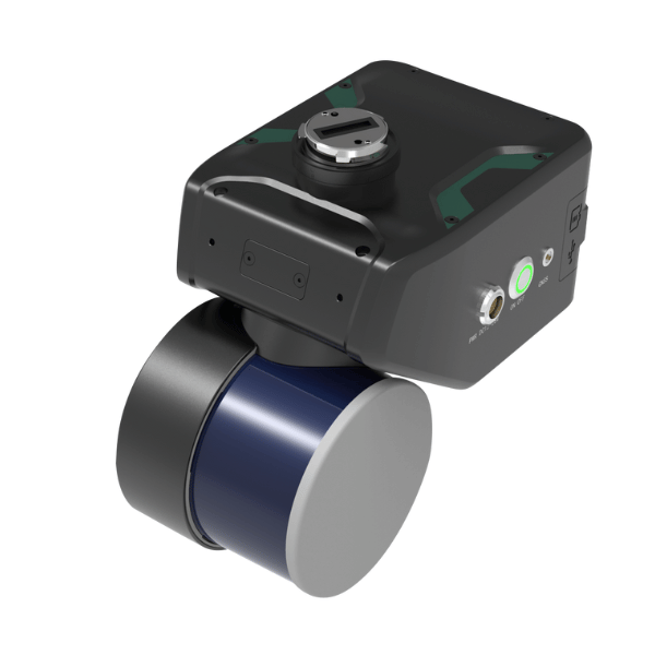
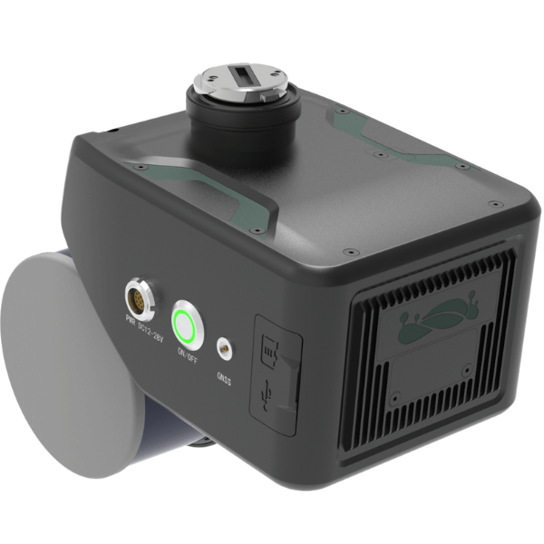
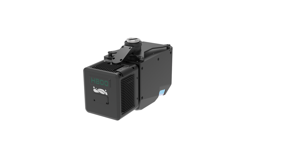
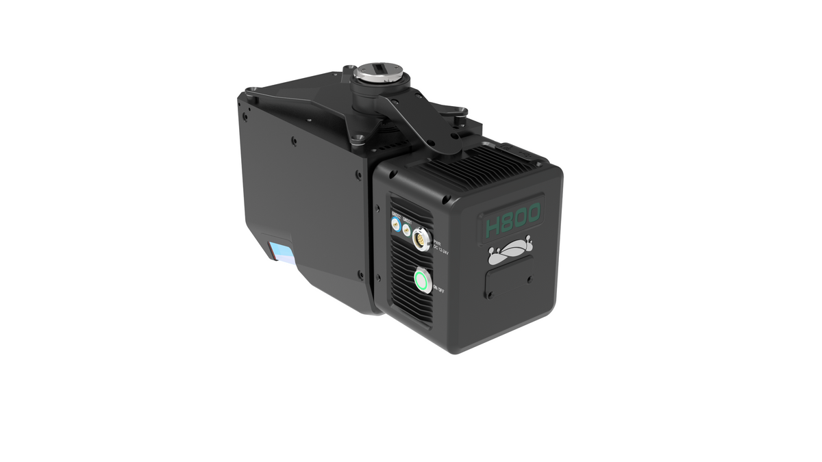
The LiAir X4 is an autonomous flight LiDAR data collection system, designed by GreenValley International, combining performance, compactness, and embedded intelligence. Equipped with a 32-line laser sensor, a high-precision GNSS/INS module, and a 26 MP camera, it performs 360° scans to generate detailed point clouds in a single flight.
Thanks to the autonomous flight algorithm AirPilot, the LiAir X4 can avoid obstacles, cross power lines, and follow the terrain relief in real time, without human intervention. Its installation is simplified when mounted on a DJI M300/M350 RTK drone, with no need for external GNSS antennas. It is also possible to install it on Aurelia Aerospace drone models: X4, X6, and X8.
With a computing power of 40 TOPS, live 720p video transmission, and data visualization options (intensity, elevation, true colors), the LiAir X4 offers a complete user experience for inspections, mapping, and topographic surveys.
| Category | Details |
| Detection range | 80 m (10% reflectivity), 200 m (54%), 300 m (90%) |
| Vertical accuracy | <5 cm at 100 m |
| Typical flight speed | 5–10 m/s |
| Storage | TF Card 256 GB + Internal SSD 512 GB |
| Weight | 1,44 kg |
| Dimensions | 210 × 120 × 183 mm |
| Tension | 12~28V |
| Electric consumption | 31 W |
| Operating temperature | -20 to 50°C |
| Storage temperature | -30 to 60°C |
LiDAR sensor
| Setting | Value |
| Wavelength | 905 nm |
| Channels | 32 |
| Laser class | Class 1 |
| Field of View (FOV) | 360° horizontal × 40.3° vertical |
| Scan speed | 1,920,000 points/sec (triple return) |
| Number of returns | 3 |
Inertial navigation system
| Setting | Value |
| GNSS price on charge | GPS, GLONASS, Galileo, BDS |
| Azimuthal accuracy | 0,038° |
| Attitude accuracy | 0,008° |
| IMU data frequency | 200 Hz |
Camera
| Setting | Value |
| Resolution | 26 MP |
| Focal length | 16 mm or equivalent 24 mm |
| Image size | 6252 × 4168 px |
Compatible software
| Type | Software |
| Control and planning | GreenValley Flight Control |
| Pretreatment | LiGeoreference |
| Post-processing (optional) | LiDAR360 |
- ·LiAir X4 Module with integrated 32-line LiDAR sensor
- ·26 MP camera
- ·Integrated GNSS/INS system
- Carte TF 256 Go
- SSD internal 512 GB
- ·Power wiring kit
- ·Mounting support for DJI M300/M350 RTK
- ·USB key with software and guides
- ·User manual
- ·Rigid carrying case
Recommended with this product
Shipped in 24-48hrs
Free delivery and shipped within 24/48 hours on all orders over $149 in Canada.
Secure payments
Order without fear thanks to secure payment by credit card or PayPal.
You have questions?
Enjoy a fast and certified support from our technicians.