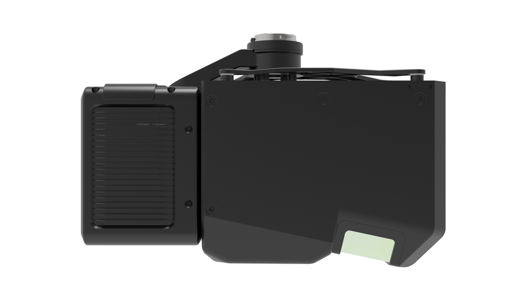
GV LIAIR - H800 With camera + LiGeoreference
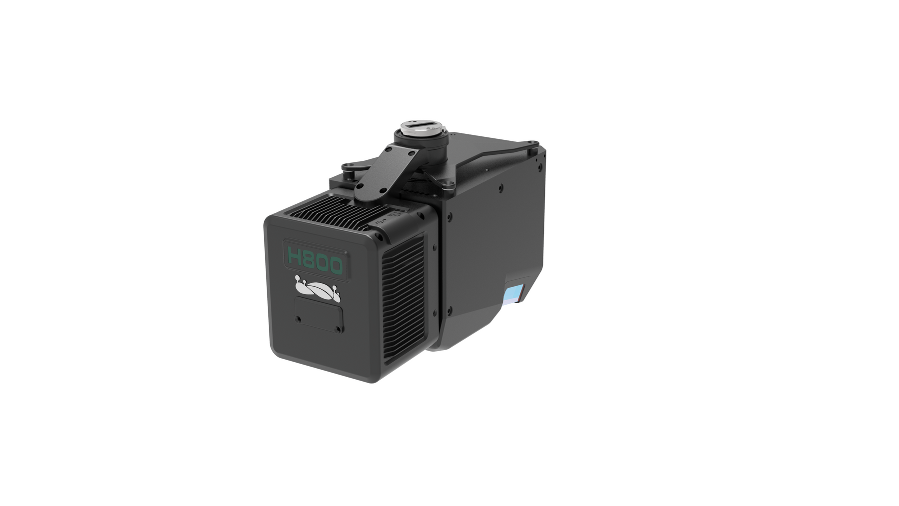
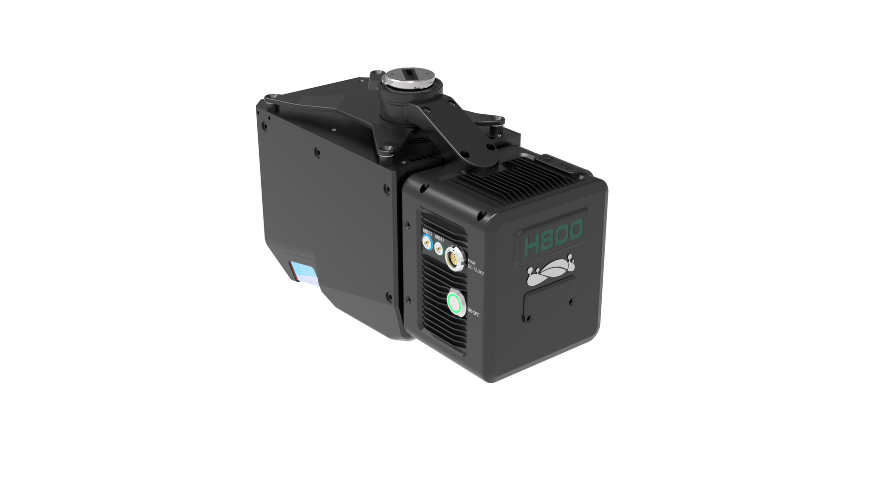
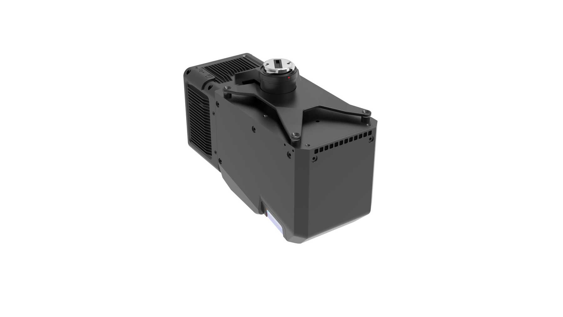
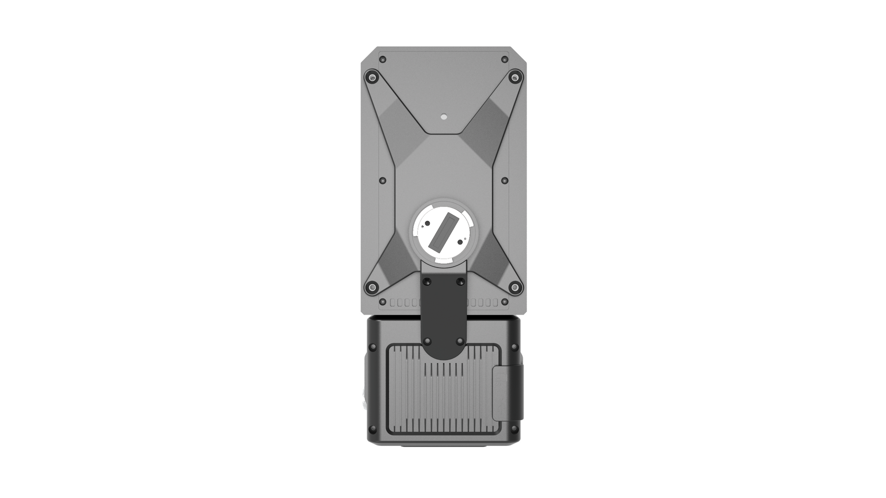
The LiAir H800 is a next-generation LiDAR system for mid- and long-range UAVs developed by GreenValley International. It integrates lightweight LiDAR, an in-house developed inertial navigation system, and an integrated high-resolution mapping camera, combining the advantages of lightweight and long-range capabilities. With the support of GreenValley App flight control software and LiGeoreference data processing software, it offers more efficient all-in-one solutions for power line inspection, forest monitoring, disaster assessment tasks. emergency, and more.
Lightweight and Long Range
Integrated with lightweight LiDAR, the total weight of the device is 2.25 kg, and it can be equipped with M350/M300 RTK models for operations. With a data frequency of 1000 kHz, it can achieve a maximum range of 1000 m. It supports 7 echoes for data collection, allowing complete acquisition of topographic data even in vegetated areas.
Adaptive Scanning Speed, More Uniform Point Cloud Distribution
Offering 9 different configurations for flight height, data rate and energy settings, the device can adaptively adjust the scanning speed to ensure consistent spacing of lines and points in different survey areas, guaranteeing a uniform distribution of point clouds and preserving the three-dimensional spatial characteristics of objects with greater precision.
Intelligent Flight Control Mode
Intelligent judgment of flight altitude, automatic start of data collection in the air, and automatic stop of collection on the ground, guarantee the integrity of the surveyed area while minimizing data redundancy. .
High Efficiency and High Precision
With a horizontal field of view of 100 degrees, at a flight height of 200 m, the effective bandwidth of a single pass is more than 450 m. The system has a repeat measurement accuracy of 5mm, and the vertical positioning error at a flight height of 200m is less than 5cm.
Built-in Camera, Ultra-Clear Image Quality
Built-in 26 megapixel high-resolution mapping camera, an altitude of 200m can obtain images at a resolution of 4.7cm, and can generate high-quality colorful point clouds, meeting the production requirements for map products.
Support de GreenValley Flight Assistant
The GreenValley App supports condition monitoring, parameter adjustment and real-time display of 3D point clouds. The simpler and clearer interface design provides a more convenient flying experience.
System Settings
Detection Range
- 350 m at 10% reflectance
- 790 m at 50% reflectance
- 1000 m at 80% reflectance
Precision
- Vertical: ±5 cm
Weight
- 2,25 kg
Memory
- 256 Go TF Cards
Tension
- 18~24V
Storage Temperature
- -30~60°C
Energy consumption
- 61 W
Operating temperature
- -20~50°C
Communication
- WIFI
LiDAR Unit
- Wavelength: 1535 nm
- Repeatability Accuracy: 3 mm @ 100 m
- Champ de Vision (FOV): 100°
- Data Frequency: 100~2000 kHz
- Number of Returns: Unlimited
Inertial Navigation System
- GNSS : GPS, GLONASS, Galileo, BD
- Précision d'Azymuth : 0.019°
- IMU Data Frequency: 1000 Hz
- Attitude Accuracy: 0.006°
Camera
- Pixels : 26 MP
- Focal Length: 16mm/24mm (Equivalent Focal Length)
- Image Size: 6252×4168
Software
- Control Software: GreenValley
- Pre-processing: LiGeoreference
- Post-processing: LiDAR360/LiPowerline (Optional)
- 1x Système LiDAR LiAir H800
- 1x USB Cable
- 1x Power cord
- 1x GNSS antenna assembly
- 2x GNSS antenna
- 1x Carte TF 256 Go
- 1x Card Reader
- 1x USB stick
- 1x Tool
- 1x Document
Shipped in 24-48hrs
Free delivery and shipped within 24/48 hours on all orders over $149 in Canada.
Secure payments
Order without fear thanks to secure payment by credit card or PayPal.
You have questions?
Enjoy a fast and certified support from our technicians.

