
WINGTRARAY - SURVEY61 Payload
61 MP nadir sensor designed for high-precision photogrammetry. Deliver maps and 3D models with topographic accuracy without GCPs.
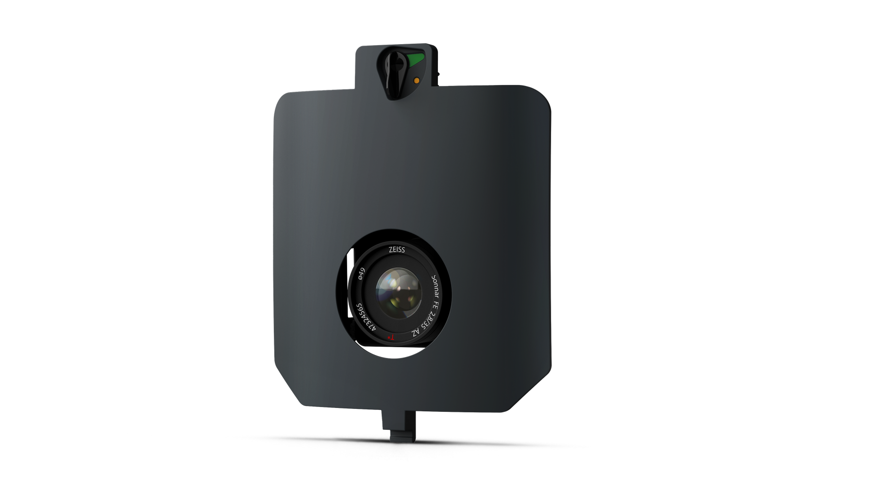
The Survey61 camera of the WingtraRAY is the ideal tool for precision photogrammetry and topographic mapping. With a 61 MP RGB sensor, a low distortion lens, and a GSD reaching 0.5 cm/px, it guarantees exceptional quality, even at 120 m AGL. This solution allows for survey-grade accuracy without relying on ground control points (GCPs), which significantly reduces field time. Capable of covering up to 310 ha in a single flight, it combines efficiency, accuracy, and reliability, perfectly meeting the needs of urban planning, construction, and all projects requiring highly precise geospatial data.
| Specification | Detail |
|---|---|
| Compatibility | WingtraRAY |
| Sensor type | RGB Nadir, 61 MP |
| Goal | Low distortion lens |
| Minimum GSD | 0.5 cm/px |
| Recommended altitude | 120 m AGL |
| Accuracy | Survey-grade, without GCPs |
| Area covered per flight | Up to 310 ha (at 120 m, 1.3 cm/px GSD) |
| Main applications | Urban planning, construction, mapping, GIS |
- 1 × Survey61 Camera for WingtraRAY
- 1 × Quick Mounting System
- 1 × Lens Protection
- User Documentation
Shipped in 24-48hrs
Free delivery and shipped within 24/48 hours on all orders over $149 in Canada.
Secure payments
Order without fear thanks to secure payment by credit card or PayPal.
You have questions?
Enjoy a fast and certified support from our technicians.