
GV LIAIR | LiAir X3H + Camera + LiGeoreference
Lightweight and high-performance LiDAR, the LiAir X3-H captures precise 3D data by drone or in handheld mode, with a 26 MP camera and SLAM-GNSS fusion.
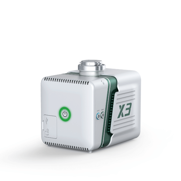
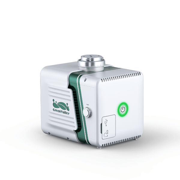
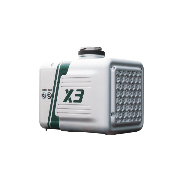
The LiAir X3-H is a lightweight and compact LiDAR system from GreenValley International's LiAir series, designed to offer increased efficiency and maximum versatility. Its integrated design combines a high-precision LiDAR scanner, a 26 MP mapping camera, an internally developed inertial navigation system, and an onboard computing module.
It is designed to operate efficiently on aerial platforms such as the DJI M300/M350 RTK, but can also be used in handheld mode. Thanks to the fusion of GNSS and SLAM technologies, it can produce high-precision point clouds even in environments without satellite signal, such as indoors or dense forests.
The system allows for rapid data capture (up to 100,000 m²/h), a vertical accuracy of 5 cm, and is compatible with GreenValley software for data control, processing, and visualization.
LiDAR sensor
| Setting | Value |
| Wavelength | 905 nm |
| Laser class | Class 1 |
| Range accuracy | 2 cm (1σ @ 20 m) |
| FOV | 70.4° (horizontal) × 4.5° (vertical) |
| Scan rate | 720,000 pts/s (triple return) |
| Scanning method | Repetitive scanning |
| Number of returns | 3 |
Inertial navigation system
| Setting | Value |
| GNSS | GPS, GLONASS, Galileo, BDS |
| Azimuthal accuracy | 0,038° |
| Attitude accuracy | 0,008° |
| IMU frequency | 200 Hz |
Camera
| Setting | Value |
| Sensor | APS-C |
| Resolution | 26 MP (6252 × 4168 px) |
| Focal length | 16 mm / equivalent 24 mm |
Compatible software
| Type | Software |
| Control | GreenValley Flight Assistant |
| Pretreatment | LiGeoreference |
| Post-processing (optional) | LiDAR360 / LiPowerline |
Portable mode (handheld)
| Setting | Value |
| Portable module dimensions | 181,8 × 108 × 88 mm |
| Weight of the portable module | 0,68 kg |
| Portable battery autonomy | 3 hours |
| Battery box dimensions | 146 × 57 × 148 mm |
| Battery capacity | 5870 mAh |
| Battery box weight | 0,81 kg |
| Maximum flight time | 55 minutes |
| Antenna | AT-106 |
| Environments | Interior and exterior |
| Mapping method | SLAM, PPK-SLAM |
| Absolute precision | ≤ 5 cm |
| Point cloud format | LAS, LiData |
Module LiAir X3-H with integrated LiDAR sensor
26 MP mapping camera
Carte TF 256 Go
Portable battery (3 h autonomy)
Battery box (for drone mode)
Connection cables and adapters
Drone mounting support
GNSS Antenna AT-106
USB key with software and documentation
User manual
Hard transport case
Recommended with this product
Shipped in 24-48hrs
Free delivery and shipped within 24/48 hours on all orders over $149 in Canada.
Secure payments
Order without fear thanks to secure payment by credit card or PayPal.
You have questions?
Enjoy a fast and certified support from our technicians.