

DJI Mavic 3 Multispectral
DJI, the global leader in civilian drones and creative camera technologies, today introduced DJI Mavic 3 Multispectral, bringing advanced productivity tools to individuals and organizations engaged in precision agriculture around the world.
This version of DJI Mavic 3 is equipped with a multispectral imaging system that quickly captures crop growth information to achieve more efficient agricultural production.
Mavic 3 Multispectral is a go-to solution for a wide range of application scenarios in precision agriculture and environmental monitoring.
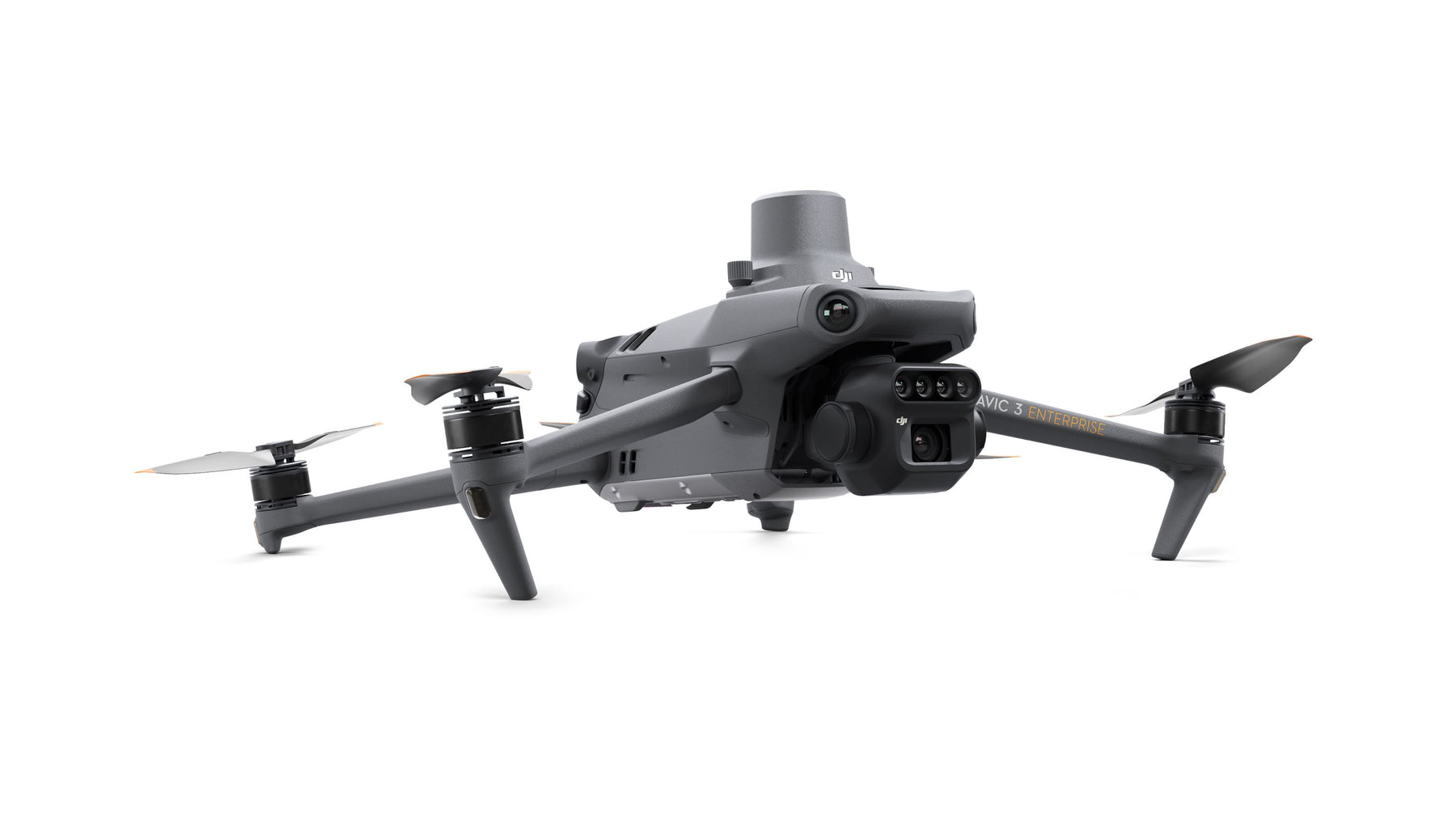
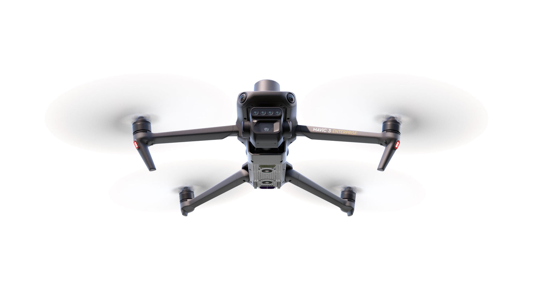
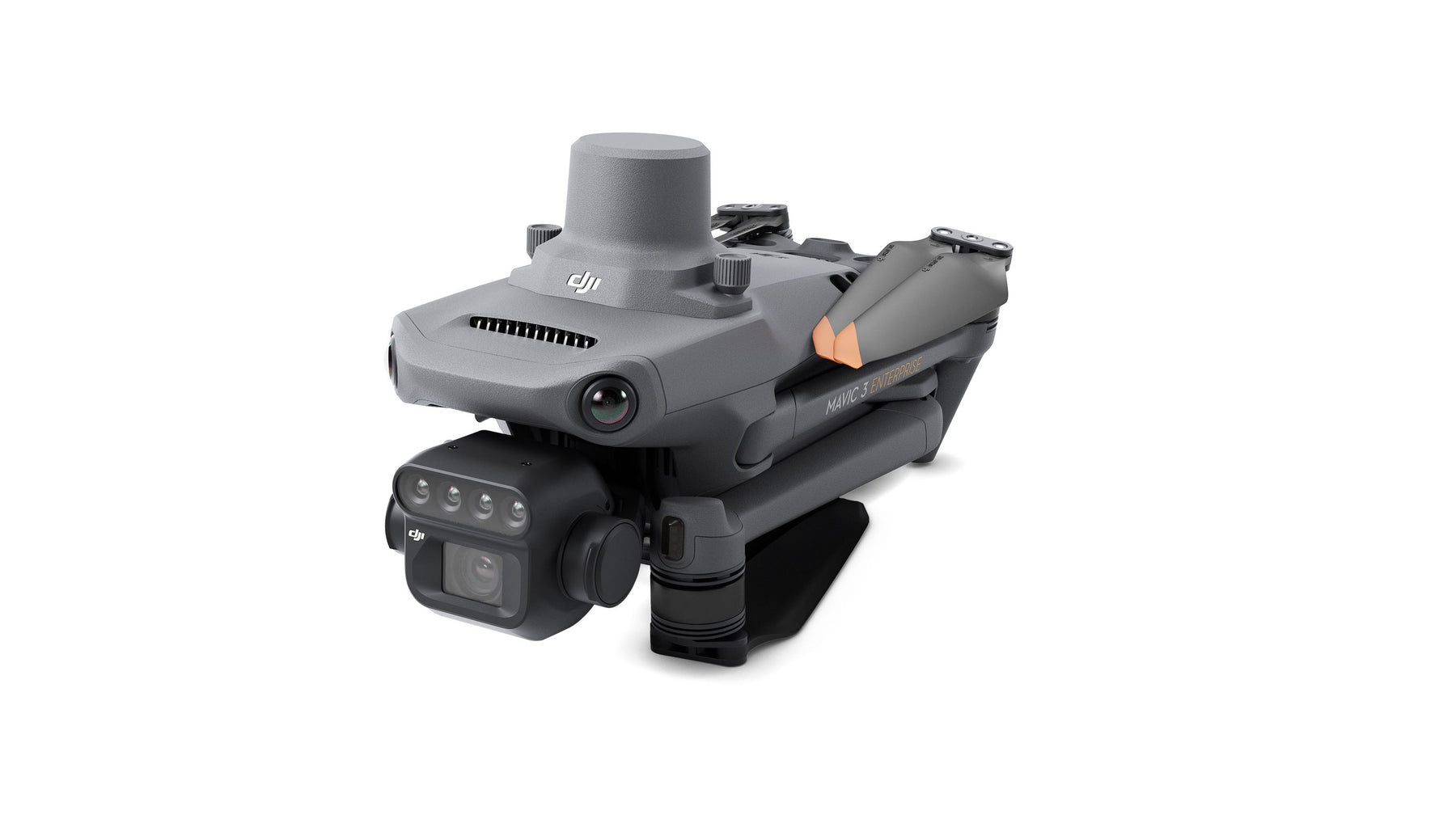
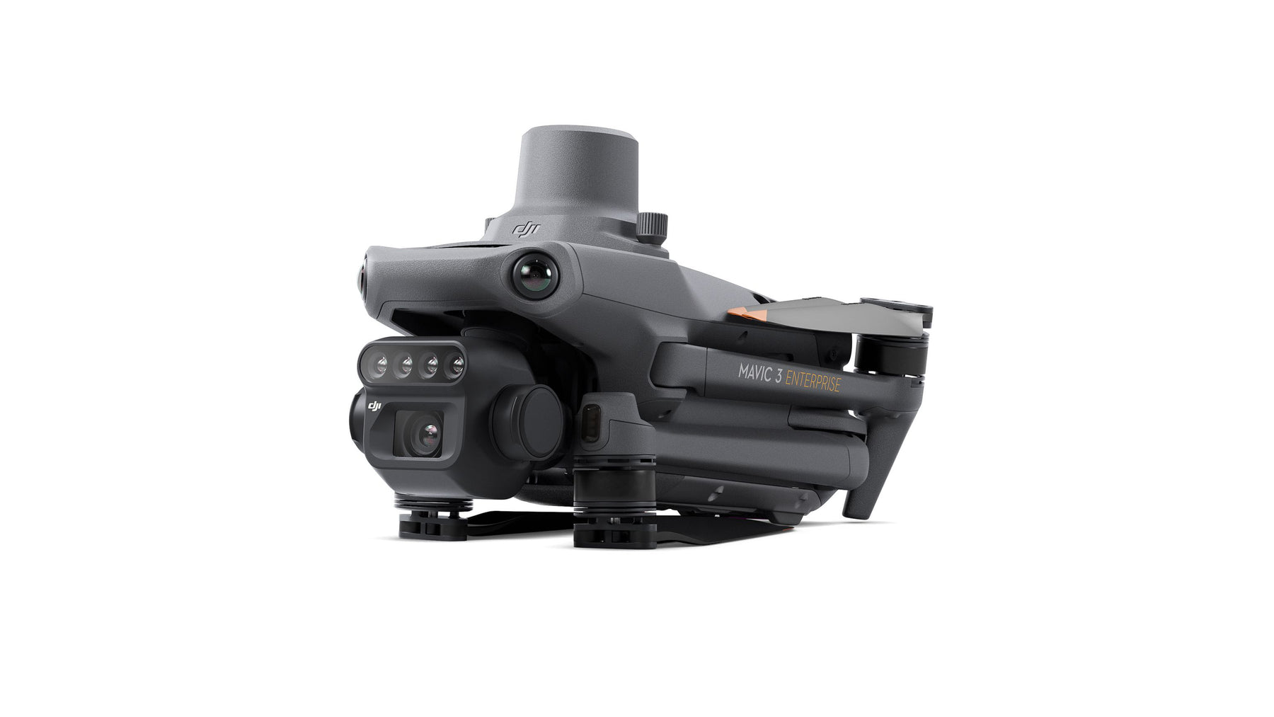
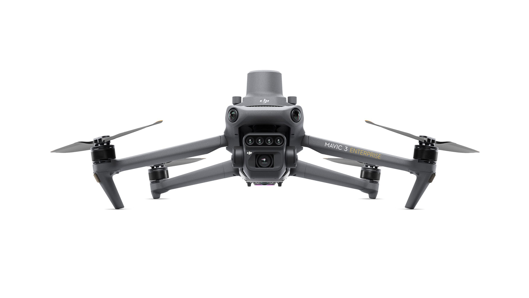
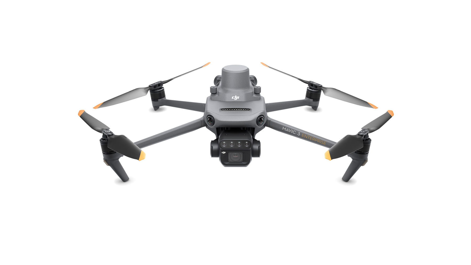
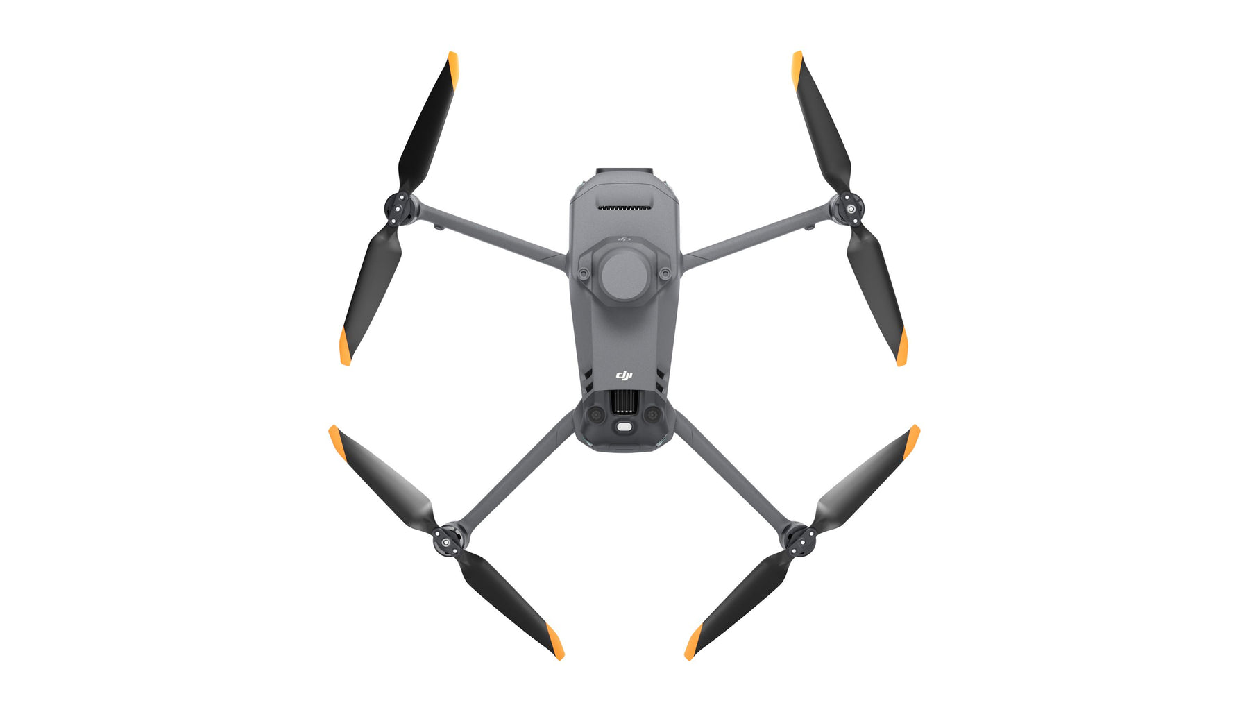
Based on the design of DJI's flagship consumer drone, the Mavic 3 Multispectral weighs only 951 grams to easily fold and fit into a regular bag, helping users carry out operations anytime, anywhere.
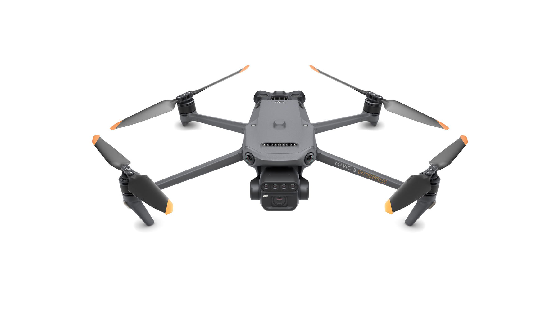
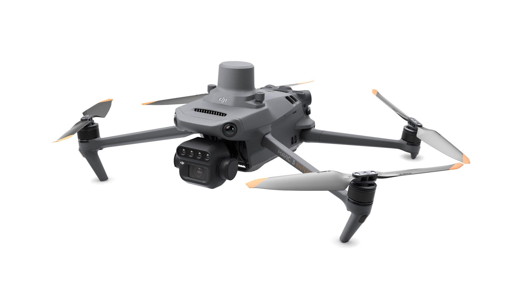
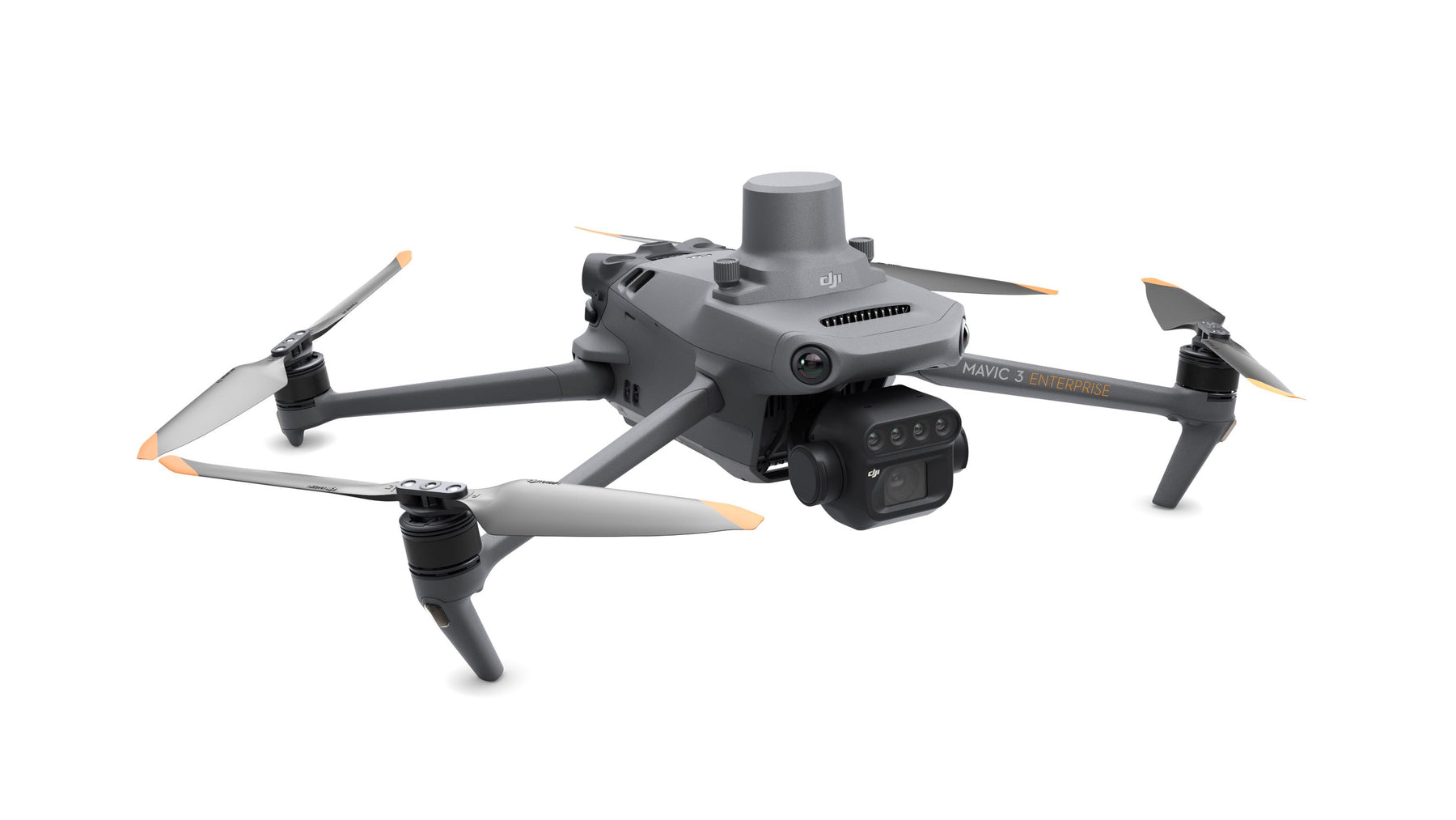
RGB and Multispectral Imaging System Mavic 3 Multispectral – also known as Mavic 3M – uses a two-in-one camera system to visualize and collect a wide range of information that users can turn into results in the field .
An RGB camera is equipped with a 4/3 inch, 2000MP CMOS image sensor and a mechanical shutter with a maximum speed of 1/2000.
It handles high-speed continuous filming at the fastest interval of 0.7 seconds and can quickly collect image information, greatly improving the efficiency of field operations.
In addition to the RGB camera, a four-lens multispectral camera provides more precise directional information, helping users better understand crop conditions by detecting details that the human eye cannot detect.
Each of the four multispectral cameras can capture 5 million pixels and search the following wavelengths: Green (G): 560 nm ± 16 nm Red (R): 650 nm ± 20 nm Red edge (RE): 730 nm ±20 nm Near Infrared (NIR) 860 nm ±26 nm By combining these two cameras, Mavic 3M achieves applications such as high-precision aerial surveys, crop growth monitoring and natural resource surveys.
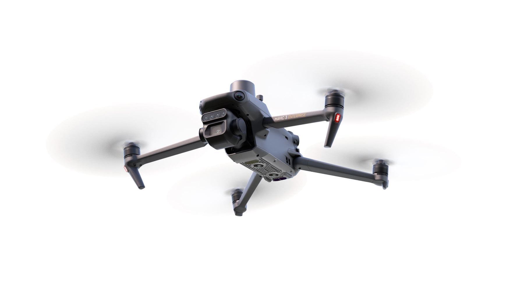
Centimeter-level RTK positioning Mavic 3M includes an RTK module that allows centimeter-level positioning.
The drone, its camera and the RTK module are synchronized at the microsecond level to precisely obtain the position information of the imaging center of each camera.
This allows the 3M Mavic to perform high-precision aerial surveys without using ground control points. And with a battery life of up to 43 minutes, the 3M Mavic 3M can survey and map an area as large as 2 square kilometers in a single flight.
Designed for safer operation, the Mavic 3M is equipped with O3 video transmission, which integrates two signal transmission channels and four signal reception channels, and supports an ultra-long transmission distance of 15 kilometers.
For added safety, the Mavic 3M is equipped with omnidirectional obstacle detection to detect obstacles in all directions and help avoid them precisely.
Unlimited Possibilities Helping professional users and partners in different fields, Mavic 3M can be integrated into various ecosystems to provide unlimited possibilities for smart agriculture.
With the built-in DJI Cloud API, based on the MQTT protocol in Pilot 2, users can directly connect the Mavic 3M to a third-party cloud platform to collect information, live video, photo data and other information, all without the need to do so. Develop a separate application.
Mavic 3M also supports Mobile SDK 5 (MSDK5), allowing users to easily develop proprietary control applications for scenarios such as intelligent monitoring.
A new tool for precision agriculture The 3M Mavic is useful in a multitude of working scenarios.
It can conduct ground-based aerial surveys of mountain forests and orchards.
The DJI Map and DJI SmartFarm Platform generate an NDVI Vegetation Index to provide the data needed for more efficient and localized crop processing.
Automatic field scouting helps detect crop anomalies and perform intelligent analysis that allows a single person to manage 70 hectares of land.
Shipped in 24-48hrs
Free delivery and shipped within 24/48 hours on all orders over $149 in Canada.
Secure payments
Order without fear thanks to secure payment by credit card or PayPal.
You have questions?
Enjoy a fast and certified support from our technicians.